%20(1920%20x%201024%20px).jpg)
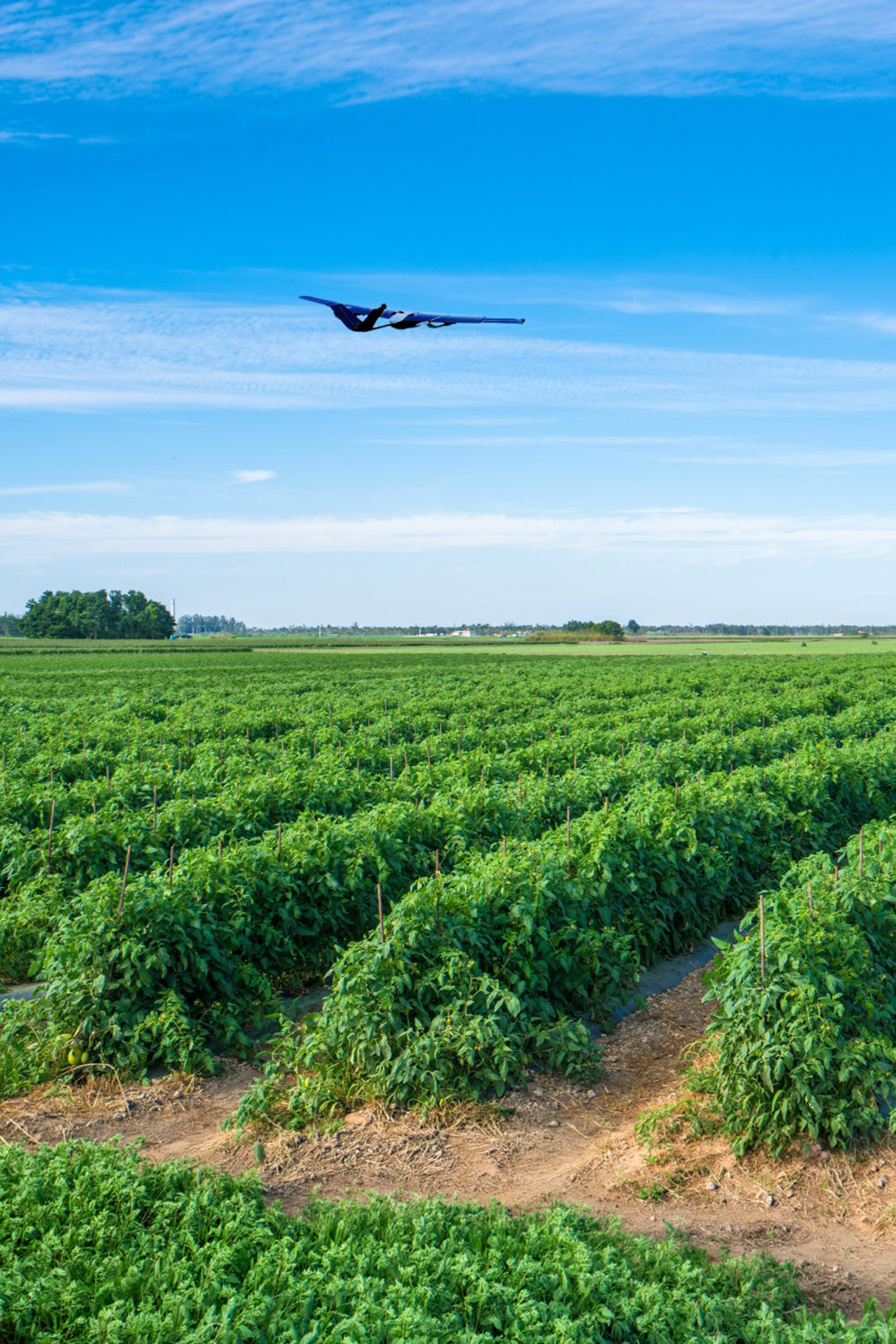
WingXpand’s easy-to-use smart planes help farmers monitor crops, livestock, and field conditions with long flight times, clear data, and minimal training — at a cost that makes sense.

Visual and multi-spectral cameras provide real-time, high-resolution live view of crops. This detects field health issues such as nutrient deficiencies, pest infestations, or diseases for rapid precision remediation.

We can create detailed 3D maps of fields, accurately measuring parameters such as elevation, slope, and drainage patterns. This information aids in better land management decisions, including crop planning, irrigation design, and soil conservation.

Monitor livestock by providing aerial surveillance of grazing areas and animal herds. This helps keep track of animals' health, behavior, and location, facilitating more effective herd management and reducing the need for manual labor.

Monitor moisture levels in fields to help make more informed decisions about planting, irrigation, and harvesting, as well as mitigating risks associated with extreme weather events.