

Agriculture
Expanding the Future of Farming.
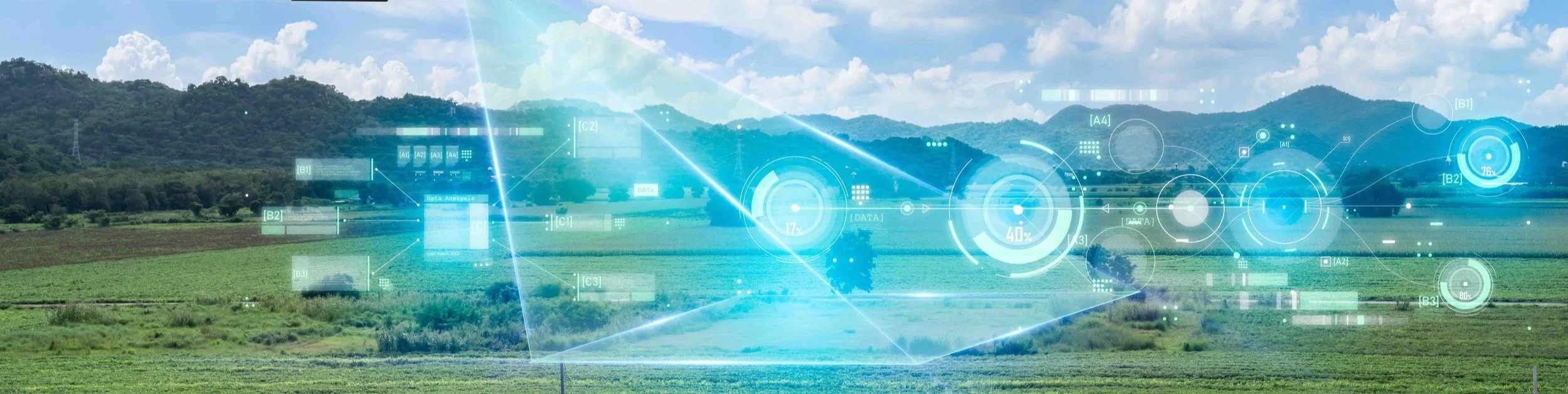
WINGXPAND™ Agriculture Drone


-
Identify disease, drought, and pests from anywhere on the farm, preventing problems before they start. Measure nutrients and plan for drainage. Water and fertilizer reports allow you to take action to increase yield.
Survey 1000+ acres in a single flight.
Gather the data you need on the first try, minimizing costly rework.
Assess field health real time, without reliance on internet connectivity.
Enjoy the simplicity and ease of use of a small quadcopter with the power that only an expandable wing fixed wing drone can provide.
-
Track animal growth, disease and prevent premature death. Find stray animals and prevent theft. Easily reach difficult to access areas. Observe pasture health and fencing.
-
Monitor fence lines to prevent livestock and property from going astray.