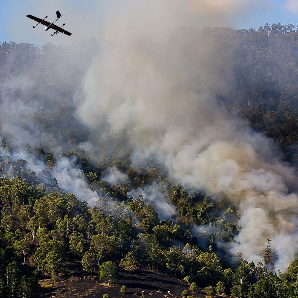
Whether it’s a fast-moving emergency or a large-scale event, it's important knowing what’s happening and where —
Live maps, real-time video, and AI-powered alerts can help you act faster, safer, and smarter.

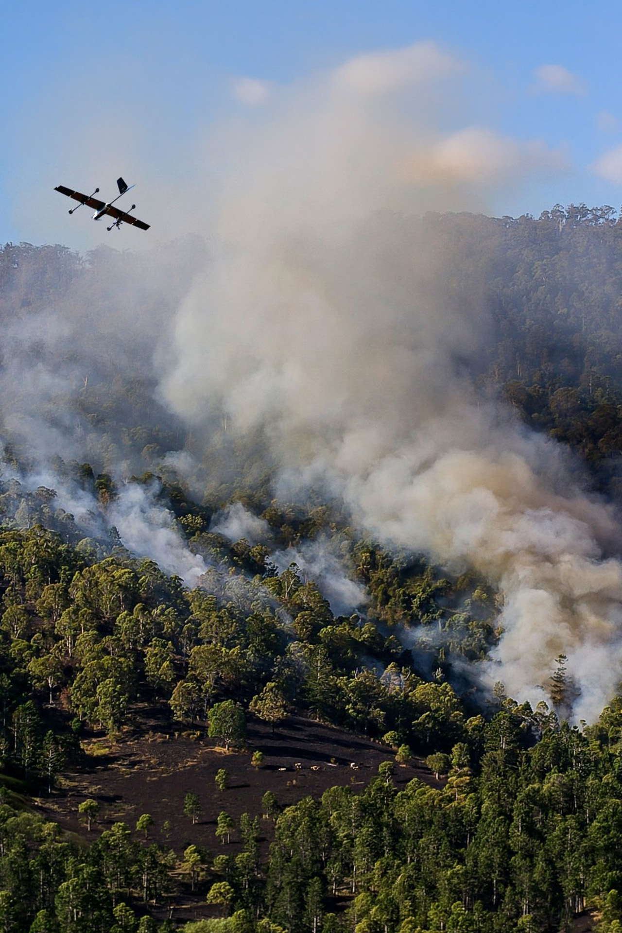
Detect fires sooner, monitor lines longer, and respond with real-time clarity.
→ AI spots flare-ups and smoke plumes 60% faster than manual methods
→ Offset manned recon flights with instant aerial mapping
→ Map and share real-time progression and ground team location
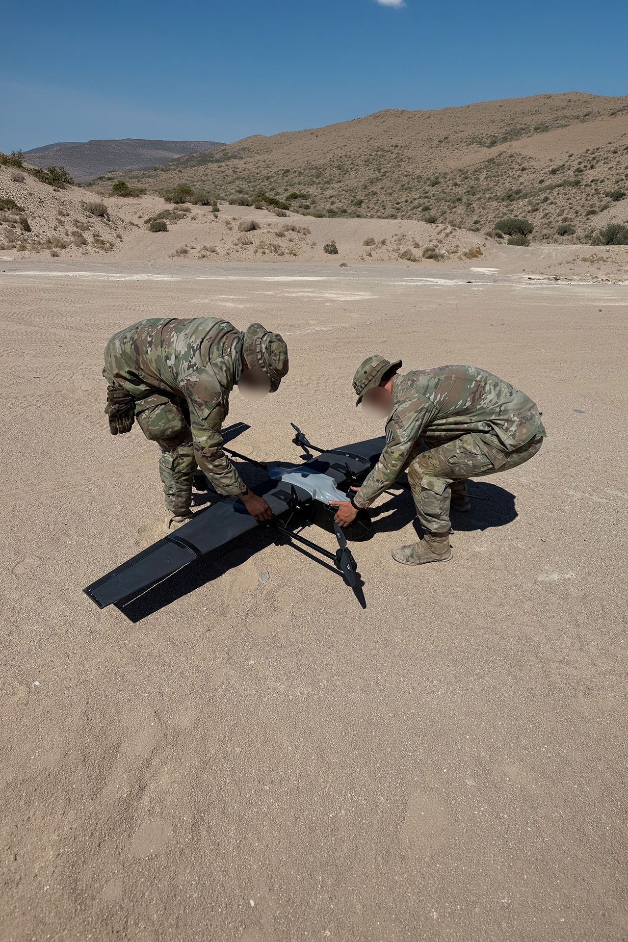
Gain fast, live visibility over scenes, suspects, and evolving events.
→ Up to 65% faster scene processing vs. manual methods
→ Track fleeing suspects with 3× longer flight time than typical drones
→ Map and document wide-area scenes with live video + high-res imagery.

Find people faster, even in difficult terrain or low-visibility environments.
→ Coverage areas of 1 smart plane = range of 5 traditional drones.
→ Reduces personnel requirements by up to 60%
→ Locate 4× faster than ground crews alone with live thermal (infrared) and high-resolution camera feeds.
%20(1000%20x%201000%20px).png)
Unobtrousively monitor large gatherings to improve safety without escalation.
→ Cut response time to crowd events by 40%
→ Coverage area of 1 smart plane = 3–5 fixed ground cameras
→ Coordinate faster with shared live video and maps

Auto-detects fire, people, vehicles—without cloud dependence.
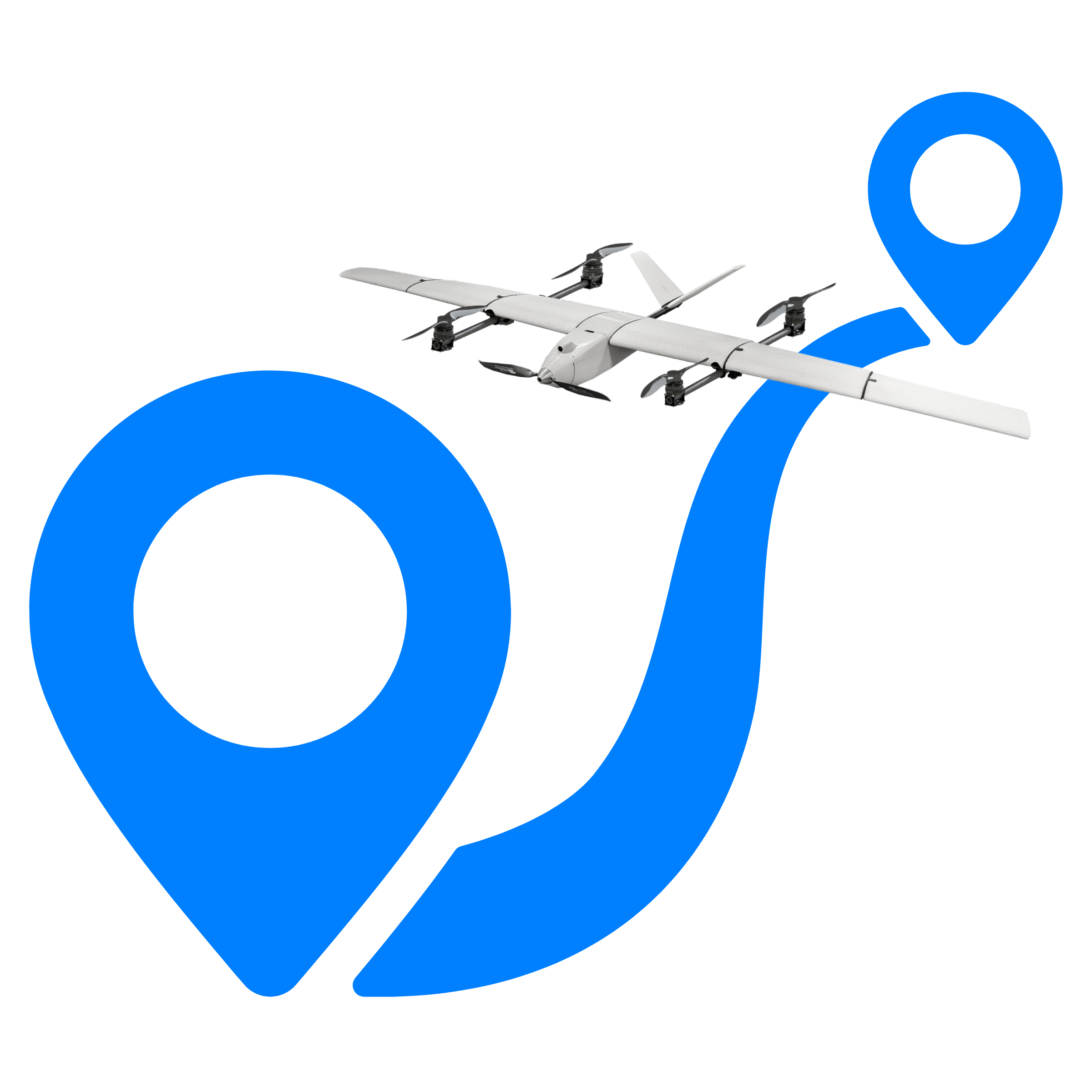
Share with teams in vehicles, on foot, or at command centers.

Swap sensors and tools based on mission—no need for multiple airframes.
.png)
Trusted by government buyers, defense agencies, and public safety teams.
Equip teams for the cost of one helicopter hour